OUR MISSIONS
The objective to provide continuous long-term vertical profiles of cloud fraction and water and ice cloud properties requires the synergistic use of several remote sensing instruments. The mission of the Centre for Cloud Remote Sensing (CCRES) is to offer operational support to ACTRIS National Facilities operating Cloud remote sensing instrumentation. To benefit from the CCRES support as a National Facility, a station must qualify as an ACTRIS-compatible cloud-profiling station. Hence, the instrument setup must respect the CCRES specific requirements. Additionally, the CCRES offers specialized services to ACTRIS users of various types: academia, business, industry and public services.
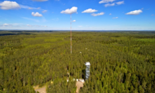
OUR INSTRUMENTS
Click on the 5 CCRES instruments to know more about the methods and procedures available:
OUR DATA
The ACTRIS Cloudnet data portal provides data processing and curation service of ground-based cloud remote sensing measurements. This includes centralized processing, quality control, provenance, data harmonization and archiving.
The data portal is developed by the Cloud remote sensing data centre unit (CLU) as part of the ACTRIS Research Infrastructure and operated at the Finish Meteorological Institute.
OUR PUBLICATIONS
Find all CCRES publications here.
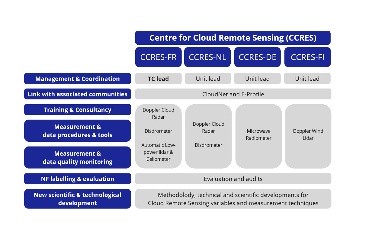
OUR UNITS
The CCRES consortium is involving 20 scientists from 4 countries with more than 15 years of experience in sensor development, cloud monitoring using remote sensing techniques, long-term instrument operation at atmospheric observatories, calibration of instruments and quality control, development of retrieval algorithms, and scientific studies of cloud processes, meteorology, and climate sensitivity to clouds.
The partners have a 20-year record of 45 peer-reviewed papers on ground-based cloud radar remote sensing, 58 on ground-based microwave remote sensing, 16 on ground-based Doppler Wind Lidars. Many of these papers also utilize instrument synergy to greatly increase the information content extracted.
The CCRES consortium is led by the management board, composed of four heads of units. The management board is the decision making body of the CCRES, meeting each month to plan the activities, budgeting, and managing the Central Facility. The CNRS Unit head is the CCRES leader, coordinating the work and interacting with the ACTRIS governance bodies. Each Head of unit manage the specific activities and staff of its unit and reports to the board.
The units have complementary areas of long-standing expertise:
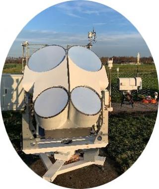
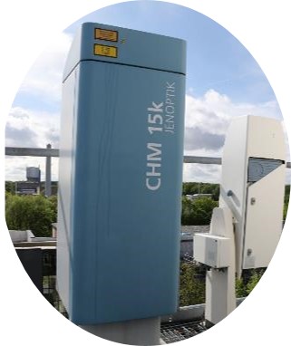
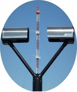
CNRS and TUD have expertise in Doppler cloud radar, ceilometer and disdrometer.
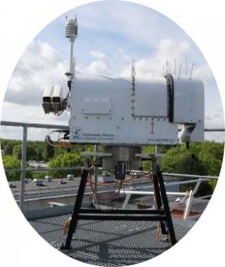
UCOL unit has expertise concerning microwave radiometer
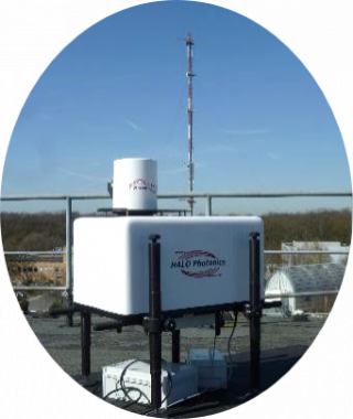
FMI Unit has expertise concerning Doppler Wind Lidar.
Contact us at ccres_contact@listes.ipsl.fr