DL IN CCRES
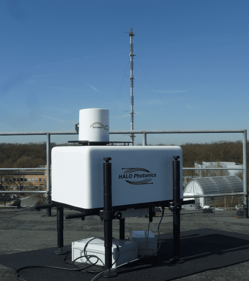
A Doppler wind lidar (DWL) is an active remote sensing instrument that provides profiles of Doppler velocity from atmospheric tracers of the wind such as aerosol particles and cloud droplets.
The DWL operating within the ACTRIS Cloud remote sensing network are long-range (maximum range beyond 2 km) instruments operating at a wavelength of 1.5 um, and have scanning capability enabling the provision of horizontal winds and turbulent properties throughout the full extent of the boundary layer.
DL procedures and methods
TITLE | VERSION | LINK TO DOCUMENT | RELATED PRESENTATION | RELATED PUBLICATION |
| Doppler Lidar Standard Operating Procedures | 2021 | Standard Operating Procedures (SOPs). |